The United Nations General Assembly has endorsed wider use of equal-area world maps, a move intended to correct the familiar visual distortion that makes Africa — including Morocco — appear smaller than its real share of the planet’s land surface.
The resolution was adopted on September 4 by 164 votes to one, with six abstentions. It encourages governments, schools, international institutions, media organizations and technology companies to consider projections such as Equal Earth when accurate comparisons of continental area matter.
Why the familiar world map changes sizes
The Mercator projection was developed in the 16th century for navigation. It preserves local angles and directions, which made it useful to sailors, but it increasingly enlarges land near the poles as the globe is flattened into a rectangle.
That is why Greenland often appears close in size to Africa on a Mercator world map, even though Africa is roughly 14 times larger. Morocco and the rest of the continent are not literally reduced by the map; their visual area is compressed relative to high-latitude regions.
What Equal Earth does differently
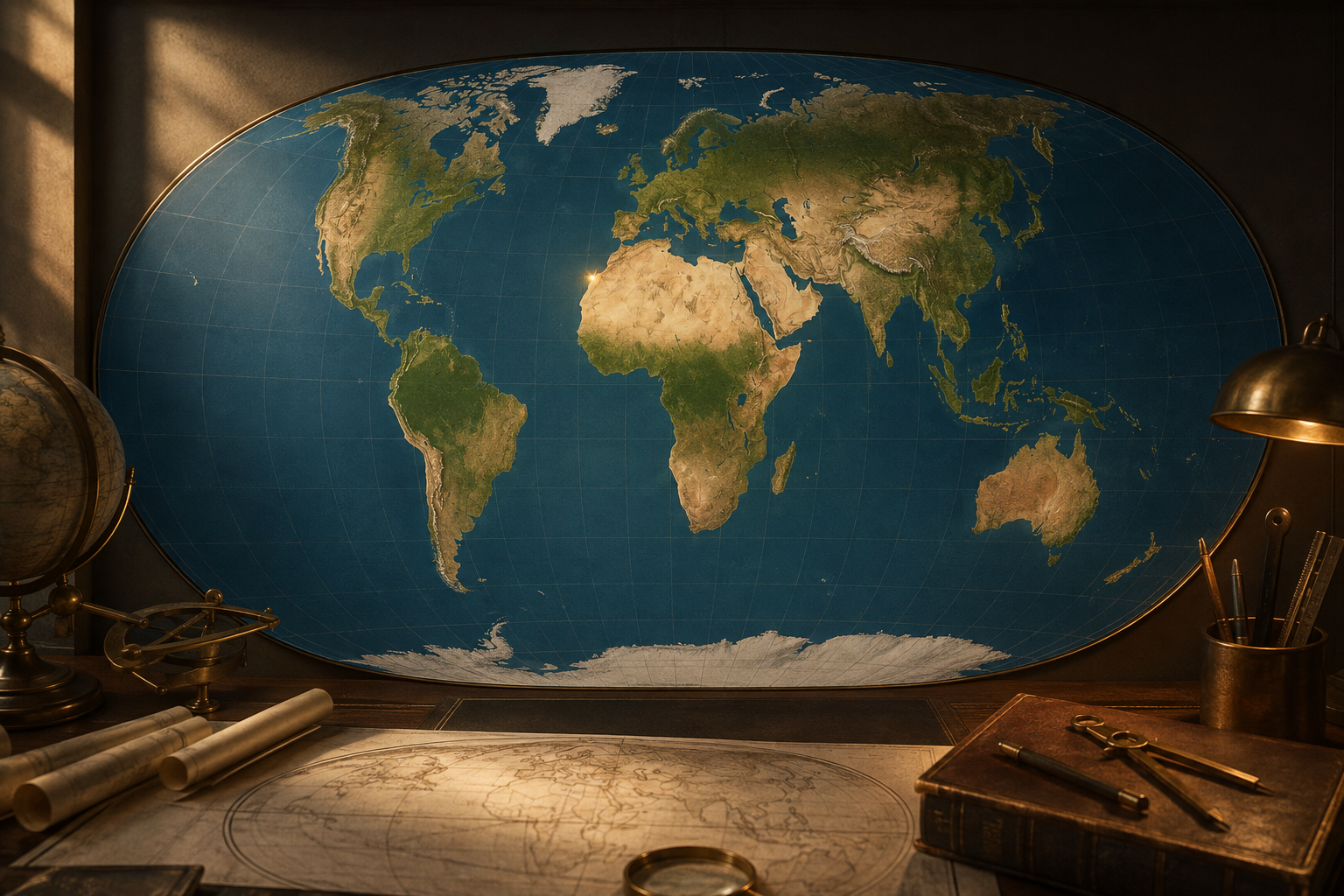
Equal Earth is an equal-area projection created in 2018 by cartographers Bojan Šavrič, Tom Patterson and Bernhard Jenny. Equal-area maps preserve the relative surface area of countries and continents, while accepting some distortion of shape, distance or direction.
The result gives Africa a much stronger presence on the page. Morocco remains in the same geographic location, but viewers see it as part of a continent whose scale is no longer visually overshadowed by northern landmasses enlarged by Mercator.
The UN did not impose one universal map
The resolution is an encouragement, not a worldwide ban on Mercator. The General Assembly debate explicitly recognized that every flat map involves trade-offs and that different projections serve different purposes.
Mercator can still be useful for navigation and some web-mapping applications. Equal-area projections are better suited to comparisons involving population, agriculture, climate, land use or economic geography because the displayed areas remain proportional.
No effect on borders or sovereignty
The change concerns projection — the mathematical method used to place a spherical Earth on a flat surface. It does not redraw international borders, settle territorial disputes or alter sovereignty.
Several delegations emphasized this point during the UN debate. Maps associated with Equal Earth cannot be used as legal evidence to assert or deny territorial claims. For Morocco, the immediate consequence is therefore educational and representational rather than juridical.
Why the decision matters
World maps influence how generations of students understand relative size and global importance. African governments and campaigners behind the “Correct the Map” initiative argued that repeated use of highly distorted maps reinforces an inaccurate mental image of the continent.
A fairer projection does not change economic or political realities, but it can improve geographic literacy. It also gives data maps a sounder visual foundation: a continent should not appear disproportionately small when a graphic compares land area, resources or human activity.
What may change next
The practical effect will depend on adoption by textbook publishers, public agencies, newsrooms and digital platforms. Institutions may choose Equal Earth or another equal-area projection rather than one mandatory design.
For readers in Morocco, the central lesson is simple: the country has not gained territory on a new map. Instead, the map is reducing a centuries-old distortion that affected the way Morocco’s continent was displayed.
FAQ
Did the UN replace all world maps?
No. The resolution encourages fairer equal-area representations but does not prohibit Mercator or impose a single projection for every use.
Does Equal Earth show every shape perfectly?
No flat map can preserve area, shape, direction and distance simultaneously. Equal Earth prioritizes proportional area while keeping a visually balanced overall form.
Does the decision change Morocco’s borders?
No. A map projection changes how the globe is displayed on a flat surface; it has no legal effect on borders, sovereignty or territorial claims.
- United Nations — UN tells the world: Stop making Africa look small (4 September 2026): https://www.un.org/en/un-tells-world-stop-making-africa-look-small
- UN General Assembly — 114th plenary meeting transcript: https://transcripts.un.org/en/ga/80/114?t=3519
- Associated Press — UN General Assembly endorses a map representing Africa more accurately: https://apnews.com/article/b138fe9f76d7ff54cc7d5c9b1ddfa983
- Maroc Diplomatique — Nouvelle carte du monde: le Maroc retrouve sa véritable dimension: https://maroc-diplomatique.net/nouvelle-carte-du-monde-le-maroc-retrouve-sa-veritable-dimension/

The Morocco Report Newsroom
The central editorial team of The Morocco Report, an independent English-language publication covering Morocco for an international audience.